
CFC is expanding our team and offering careers to passionate individuals who share our commitment to environmental conservation and sustainable stewardship!
🗺️ GEOSPATIAL ANALYST 🗺️
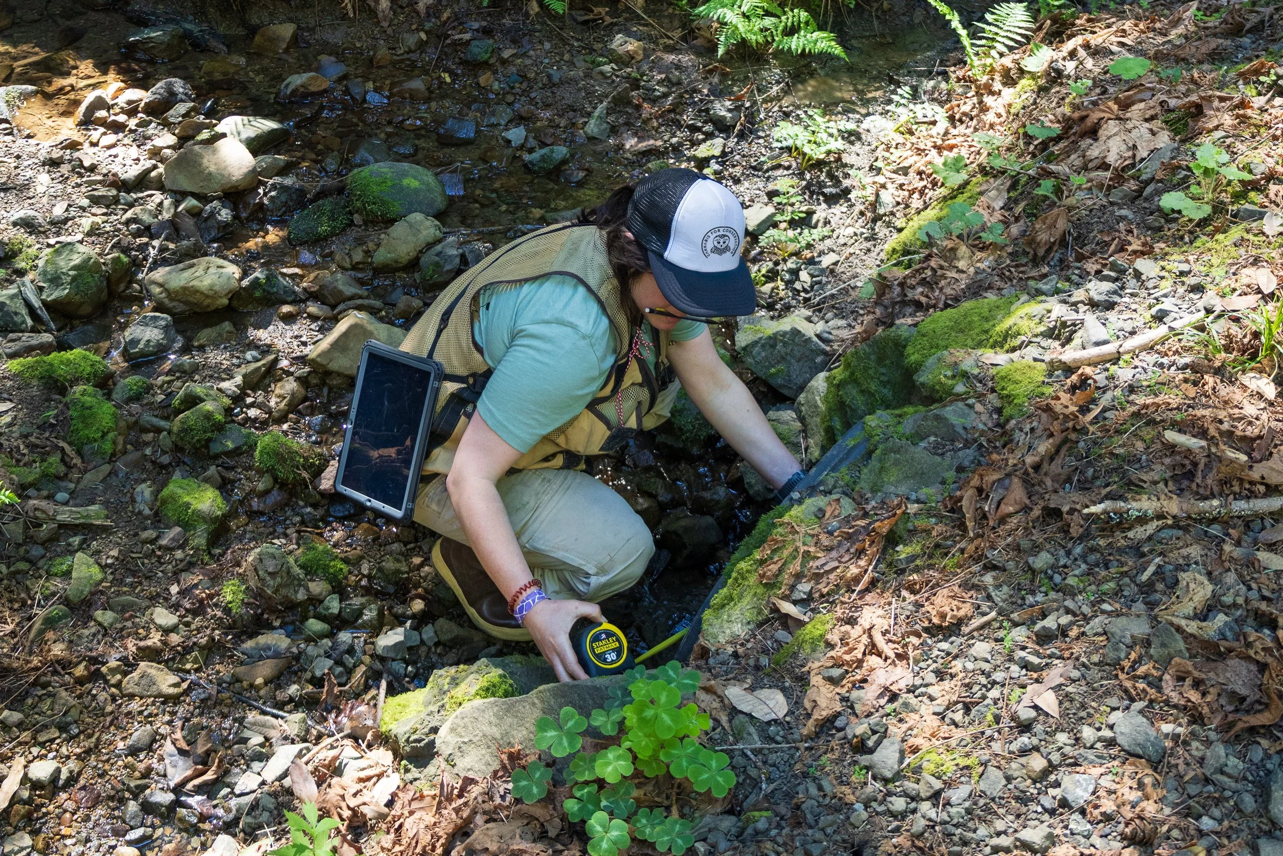
Are you a geospatial analyst who loves turning complex environmental data into clear, actionable insights? Cannabis for Conservation is seeking a Geospatial Analyst to support landscape-scale sediment reduction efforts across Northern California by developing and managing the geospatial systems that guide rural infrastructure improvements and watershed restoration work.
Using UAV-based LiDAR, ArcGIS Pro, ArcGIS Online, Field Maps, and Survey123, you’ll collect, process, and translate environmental and civil engineering data into terrain models, infrastructure assessments, and field-ready data tools that support construction planning, compliance, and long-term monitoring. From drone flight planning and LiDAR processing (DEM/DSM/contours) to developing standardized field workflows and producing pre- and post-project mapping, your work will ensure our restoration efforts are data-driven, well-documented, and clearly communicated.
If you’re experienced in GIS and remote sensing, comfortable working in rugged field environments, and motivated to apply advanced geospatial tools to watershed and infrastructure challenges, we’d love to hear from you!
📍 Hybrid role based in McKinleyville, CA with fieldwork across Humboldt County, Trinity County, and Mendocino County
💼 Full-time | $38–44/hr DOE | Excellent benefits
For any questions or issues, please contact info@cannabisforconservation.org.
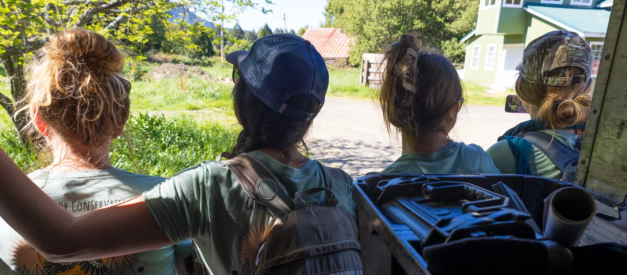
At Cannabis for Conservation, our team is highly collaborative and engaged, wearing many hats to keep our small organization successful and growing. We hold a high standard of employee camaraderie and a self-starting ethos, and value creative solutions to complex environmental issues.🌟 Join us!
(Last updated 3/25/2026)